|
| *****SWAAG_ID***** | 921 |
| Date Entered | 09/03/2016 |
| Updated on | 09/03/2016 |
| Recorded by | Tim Laurie |
| Category | Burial Mounds and Cairns |
| Record Type | Archaeology |
| Site Access | Public Access Land |
| Location | Featham Pasture |
| Civil Parish | Melbecks |
| Brit. National Grid | SD 984 991 |
| Altitude | 400m |
| Geology | Glacial drift on strata above the Five yard Limestone. |
| Record Name | Large round cairn (quarried remnant) and small cairnfield settlement complex on Featham Pasture |
| Record Description | Large round cairn (quarried remnant) and small cairnfield settlement partially revealed by recent heather burn north of the track which traverses Featham Pasture. This small cairnfield complex is centred on the round cairn 12.3m*10.5m diameter which has been quarried for building stone down to ground level. Sufficient basal stones survive to define the perimeter of this substantial cairn although all large stones have been removed.
The cairnfield settlement associated with the round cairn consists of fragmentary lengths of stone dump field banks and several small stone cairns which may contain burials but most will be just field clearance heaps.
When first recognised in thick heather this quarried round cairn was interpreted as a hut circle, however the recent heather burn has allowed a reconsideration and revealed the stone cairn material and stone robbing voids which determine the original form of this feature. |
| Dimensions | Partially visible where heather has been burned. |
| Additional Notes | This cairnfield site is only partially visible. The full extent of the site is concealed beneath thick heather.
Cairnfield settlements are the settlement form most prevalent during the Bronze Age across Northern Upland Britain and may be very large, as at Danby Rig on the NYM with more than 1000 stone cairns (Harding, A.F.1994.'Prehistoric and early medieval activity on Danby Rigg, North Yorkshire'.Archaeol. Journal. 151, 16-96.) and those of medium extent at Harker Mires on Harkerside Moor, below Cringley Hill on Reeth Low Moor and on Fremington Edge (Laurie,T.C., 1985. British Archaeological Rpts. Brit.Series 143, 135-162.) Cairnfields may be defined by the presence of numbers of stone cairns or clearance heaps with occasional isolated round houses within small paddock like field systems or just fragmentary stone dump field banks. Funerary monuments associated with cairnfield include large round cairns and occasional stone cist burials below small kerbed cairns. Burnt mounds are often present.
A large cairnfield settlement complex has recently been fully surveyed on the WD Range on Ellerton Moor, at Juniper Rigg, for details see SWAAG Record No 394 |
| Image 1 ID | 6713 Click image to enlarge |
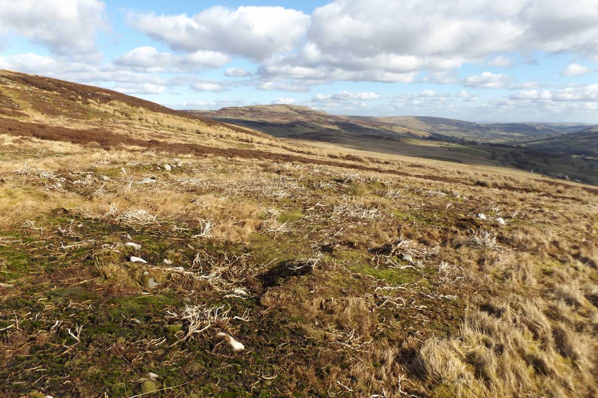
| Image 1 Description | Remnant of round cairn 12m diameter quarried down to ground level. Revealed by recent heather burn. | 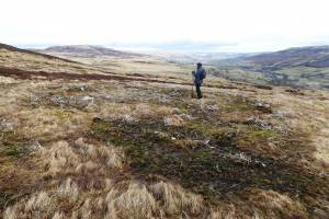 |
| Image 2 ID | 6717 Click image to enlarge |
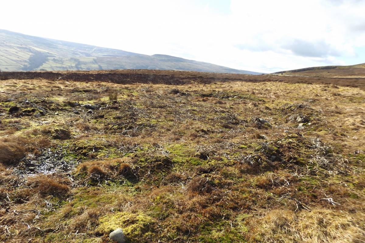
| Image 2 Description | The round cairn is sited at a vantage point with fine views eastward through Swaledale. Similar large round cairns recorded below Cringley Hill, on Ellerton Moor and on Fremington Edge. These cairns are all intervisible. | 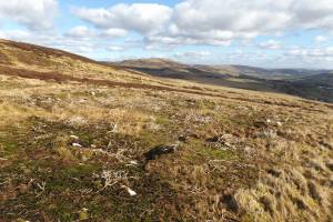 |
| Image 3 ID | 6715 Click image to enlarge |
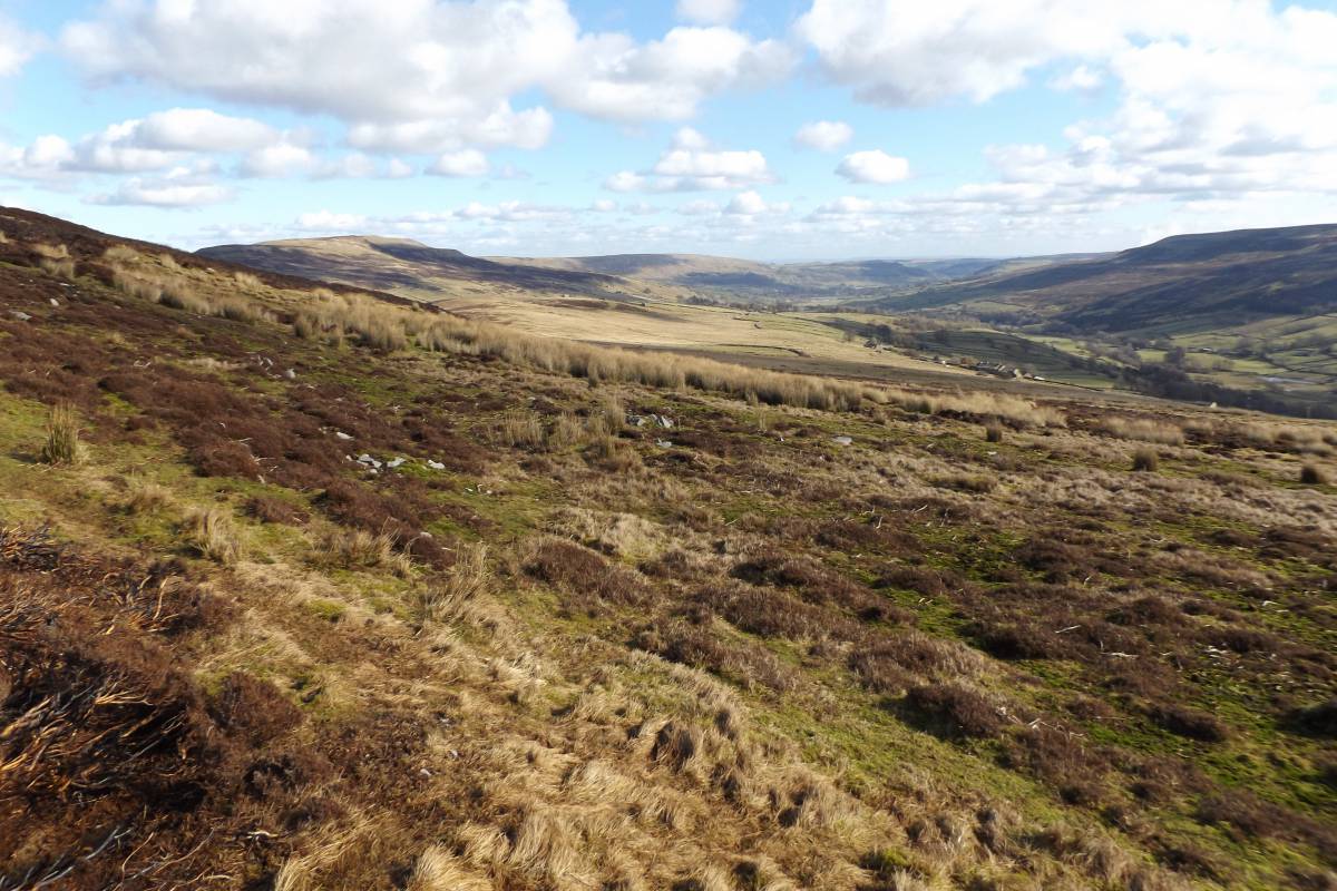
| Image 3 Description | The round cairn is sited at a vantage point which also enjoys fine views to Upper Swaledale. A similar large round cairn has been recorded on Low Row Pasture above Barf Scar. | 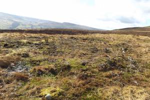 |
| Image 4 ID | 6720 Click image to enlarge |
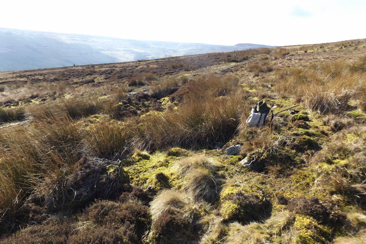
| Image 4 Description | Possible round house platform and clearance close to the Round Cairn | 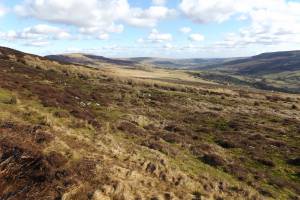 |
| Image 5 ID | 6719 Click image to enlarge |
| Image 5 Description | Stone founded round house in heather close to the track which traverses Featham Moor (One of two round houses here). | 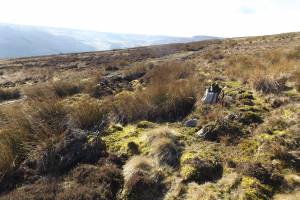 |
| Image 6 ID | 6722 Click image to enlarge |
| Image 6 Description | Spring rise managed as a reliable water supply. The prehistoric settlements on Featham Pasture are centred at this spring. | 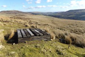 |